The Moderate Resolution Imaging Spectroradiometer (MODIS) on NASA’s Aqua satellite acquired this natural-color satellite image of the Oklahoma tornado system at 2:40 p.m. CDT (19:40 Universal Time), just minutes before the devastating twister began.
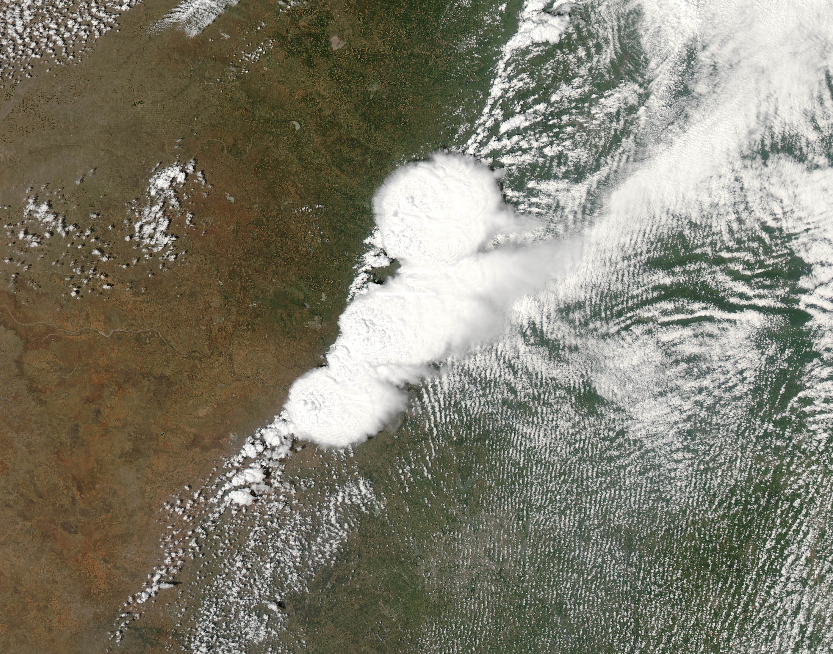
The red line on the image depicts the tornado’s track.
According to the latest report, 24 have died, including 9 children when the devastating tornado ripped through Moore, Oklahoma Monday afternoon.
Free download large image (1 MB, JPEG, 2800x2200)
Recent Posts
Popular Posts
- Convert UTM (Easting, Northing) to Lat-Long Formats
- GIS Education Submission
- GRASS GIS Free Tutorial
- Mobile Cadastral GIS 3.0 Android App Released in Taiwan
- Free download Worldview-1 imagery / QuickBird satellite images
- Learn ENVI software online - Tutorial guide
- Free Download S-PLUS software Student Edition
- ENVI Band Math Tutorial, Help Guide
- Valtus Imagery Services
- Free SPOT Images now in USGS Archive
0 comments:
Post a Comment