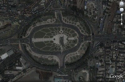
Google Earth updates the
satellite images of Tehran, Iran. With the current civil unrest happening in Iran right now, Google takes a step of updating the satellite images of Tehran for public viewing. Google Earth used
GeoEye's IKONOS satellite with roughly 1-meter spatial resolution. Below is just a sample image of Tehran from
Google LatLong.
You can view the images on Google Earth with
this KML file (assuming you already have Google Earth installed on your PC). You can
download Google Earth for free if you have not done it yet.


0 comments:
Post a Comment